
Updated 2026-11-17
Map: Rivers, Forests, Lake, and Gorge
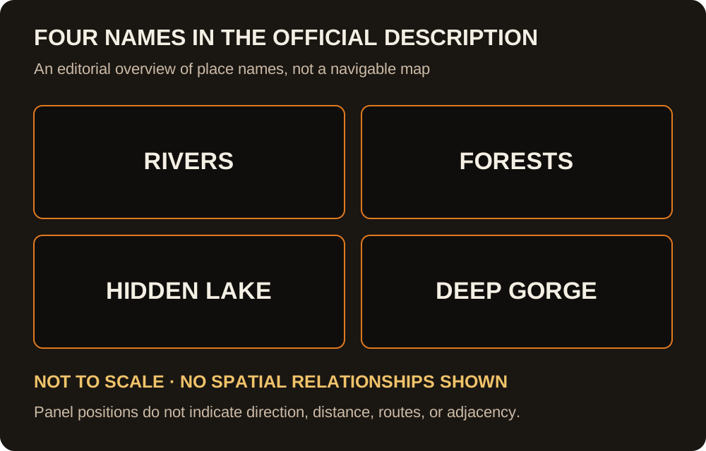
Four places are in the official description. Five more are community names. The diagram groups the four names without assigning their locations; the table separates name evidence from editorial travel advice.
| Place | Resource | Danger | Suited to | Name evidence / advice |
|---|---|---|---|---|
| Rivers and valley | Drinking water, shoreline travel | Alligators, hippos, crowded banks | Otter, alligator, hippo | Official name · editorial travel advice |
| Forests | Cover and ambush lanes | Flanks, short sightlines | Wolf, tiger, gorilla | Official name · editorial travel advice |
| Hidden lake | Water and mid-life rotations | Camped shorelines | Otter, alligator, hippo | Official name · editorial travel advice |
| Deep gorge | Height and flyer routes | Falls and third parties | Eagle, peregrine, vulture | Official name · editorial travel advice |
| Den Hollow | Tutorial start | Teen hunters, idle risk | New wolf and deer | 1 source |
| Tall Marsh | Marsh-edge water | Patient campers | Aquatic ambushers | 1 source |
| Alder Creek | A linear path and a discovery toast | Tunnel vision | Travel and discovery | 1 archived source |
| Grazing Grounds | Graze nodes, deer and elk | Dives and pack rushes | Deer, elk, bison | 1 archived source |
| Rattlebone Mesa | High dry ground | Thirst and rattlesnakes | Experienced hunters | 1 source |
The four names the studio uses
The Roblox description, read on 17 Nov 2026, lists rivers, forests, a hidden lake, and the deep gorge. Those four are the map I will defend. Rivers are drink, hunt, and a road. Forests are where sightlines die and ambush kits (wolf, tiger, and the gorilla during its event window) make sense. The hidden lake is a second drink that players rotate through once the starter shore is camped. The deep gorge is the vertical piece: bald eagle Dive, peregrine Dive Bomb, and the vulture added on 11 Nov 2026 are the animals tied to height. Falling is the danger the notes repeat, not a boss.
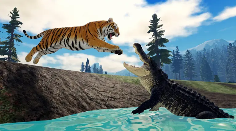
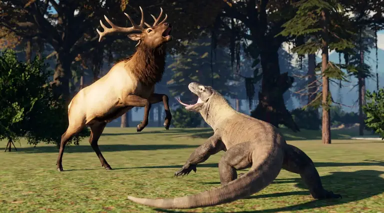
The schematic shows four labels in separate panels. It has no routes, coordinates, compass, or implied adjacency because no public official map establishes those relationships. The other images are official screenshots, not a navigable map legend.
Community names, kept at one source
Den Hollow, Tall Marsh, Alder Creek, Grazing Grounds, and Rattlebone Mesa come from community map write-ups. I have not found a second independent page that defines each of them the same way, so every one of those rows says “1 source.” Den Hollow is the spawn lesson: mice, first growth, then leave, because teen predators check it. Tall Marsh is another drink with the same alligator and hippo problem as the main river. Alder Creek is described as a corridor that throws a discovery toast, which is why the Amber page mentions it. Grazing Grounds concentrate deer and elk and therefore concentrate the things that eat them. Rattlebone Mesa is high and dry, which means thirst, and the notes add rattlesnakes without a species stat.
If you came here for a pin, use the four official names and treat the other five as rumors with a direction. Food timing is on food and water. Group meeting spots are on packs.
FAQ
Is there an interactive map?
No. This page is a table of places, resources, and dangers.
Which places are official?
Rivers, forests, the hidden lake, and the deep gorge. The other five rows are single-source community names.
Sources
- Roblox game page — four place names, 2026-11-17
- feral-animal-survival.wiki map — 2026-11-09
- feralsurvivals.wiki map areas — archived URL:
https://feralsurvivals.wiki/; domain unavailable (DNS) at review — 2026-11-14
Checked 2026-11-17.
Limitation: public sources checked on 2026-11-17 may omit details or differ after game updates; single-source reports remain labeled.